
Categories
- Case Studies
- Consultation
- Events
- Evidence Base
- Funding
- Networks
- Policy / Strategy
- Programs and Initiatives
- Tools and Guides
Tags
- Access and affordability
- Active travel
- Bike riding
- Built and Natural Environment
- CALD communities
- Chronic disease
- Collaboration / partnership
- Community Centres
- Community engagement
- Community led / place-based
- Community wide
- Data and Demographics
- Digital and IT
- Early intervention
- Educational institution or university
- Empowered People
- Equity
- Evaluation
- Exercise
- First Nations People
- Food security
- Food system / industry
- Food Venues
- Funding and grants
- General health and wellbeing
- health
- Health promotion/prevention
- Health service
- Health System
- Health, Government, and Other Services
- Healthy eating
- Healthy food and drinks
- Healthy weight
- Healthy Workplaces
- Industry and social ventures
- Infants, children, and young people
- Infrastructure, Planning and Urban Design
- Local Government
- Monitoring and Evaluation
- Not-for-profit and non-government organisations
- Nutrition
- Older people
- Overweight/Obesity
- Parents
- Parks and public spaces
- People living with disability
- Physical activity
- Places, settings, environments
- Public Transport
- Queensland
- Regional
- Remote
- Rural
- Safety and inclusions
- Schools and Early Childhood Places
- Sedentary Behaviour
- Sleep
- Sport and active recreation industry
- Sport and recreation facilities
- Streets, pathways, bike paths
- Urban
- Walking
- Weight
- Wellbeing
Featured Resource
Australian Urban Observatory (AUO)
- Built and Natural Environment
- Community Centres
- Food Venues
- Health, Government, and Other Services
- Healthy Workplaces
- Infrastructure, Planning and Urban Design
- Monitoring and Evaluation
- Parks and public spaces
- Places, settings, environments
- Public Transport
- Schools and Early Childhood Places
- Sport and recreation facilities
- Streets, pathways, bike paths
- Walking
 Share
Share
 Share
Share
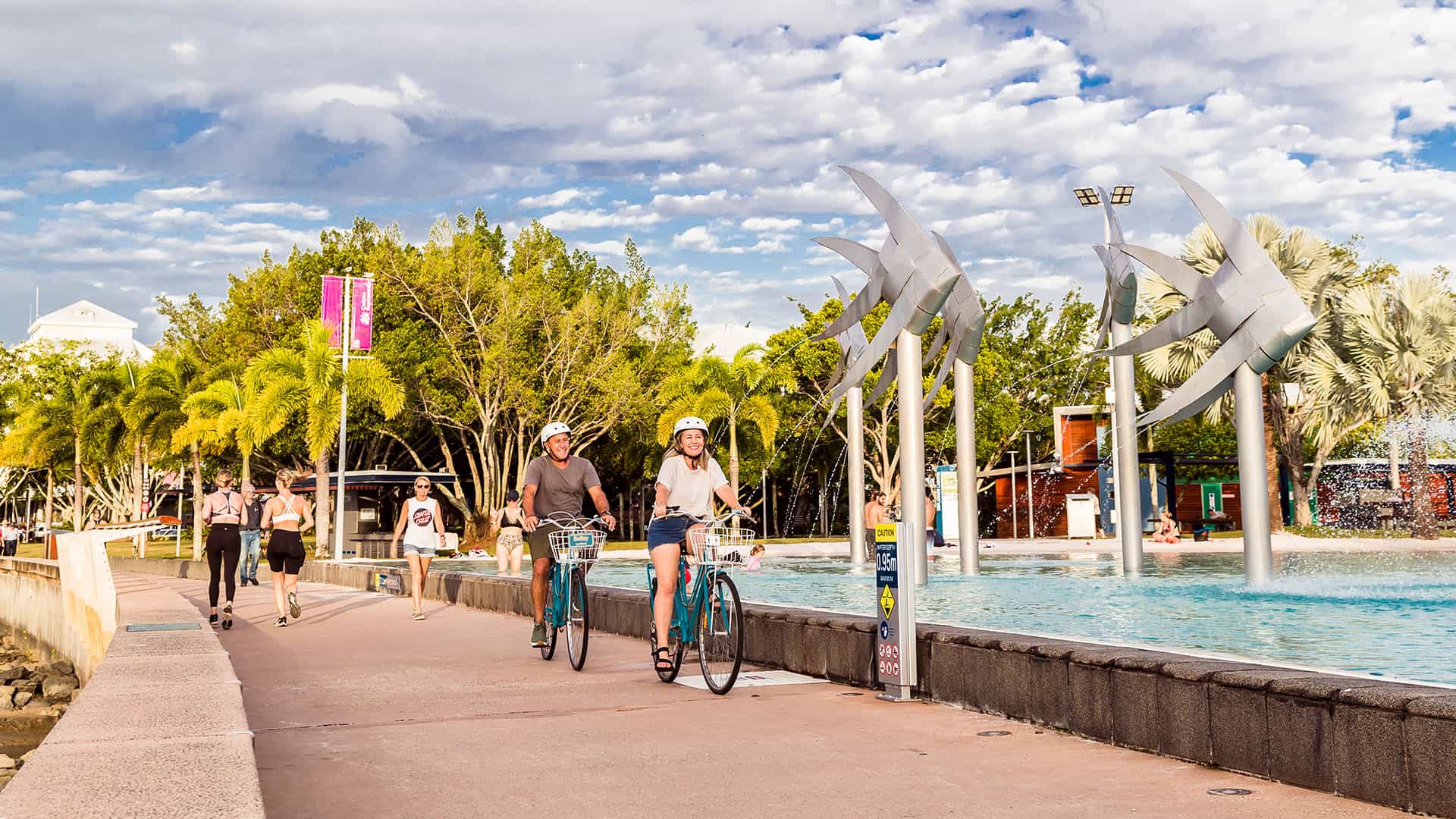
The Australian Urban Observatory (AUO) maps key liveability indicators found to be associated with health and wellbeing and provides a clear understanding of the liveability of cities. It provides information and understanding to support resource allocation, future policy action and support to create equitable, healthy and liveable places.
The aim of the observatory, which is located within the Centre for Urban Research at RMIT University, is to share the research knowledge gained with residents and decision makers to improve health and liveability across communities.
The AUO represents the first time health-related liveability indicators have been made available on spatial maps for Australia’s largest cities. Backed by 10+ years of research into the connections between the built environment and health, the AUO provides decision-makers with the very best place-based liveability indicators to enable observation, understanding and actions that support health and liveability across Australia.
The AUO:
- Makes understanding and measuring liveability so much simpler.
- Translates a multidisciplinary program of research into indicators for policy and planning practice to create real world impact.
- Measures and maps key liveability indicators for Australia’s 21 largest cities, both spatially and across time, to three levels of detail – LGAs, suburbs and neighbourhoods.
- Uses 42 indicators across 9 domains of liveability that are found to be associated with health and wellbeing outcomes:
- liveability
- walkability
- social infrastructure
- transport
- food
- alcohol
- public open space
- employment
- housing.
- Enables a deeper understanding of individual indicators combined with systems thinking insights into the interaction of these domains.
Enquiries regarding the Australian Urban Observatory should be directed to auo@rmit.edu.au or:
Australian Urban Observatory Centre for Urban Research
RMIT University Building 8, Level 11
RMIT University City Campus
GPO Box 2476
Melbourne VIC 3001
Resource sourced by Health and Wellbeing Queensland
Related Resources
Population health data to inform Queensland communities
Case Study: Play Active for early learning
SportsBox – a borrow box of sports equipment for all
- CALD communities
- Community engagement
- Exercise
- First Nations People
- General health and wellbeing
- Health, Government, and Other Services
- Infrastructure, Planning and Urban Design
- Parks and public spaces
- Physical activity
- Safety and inclusions
- Sedentary Behaviour
- Sport and active recreation industry
- Sport and recreation facilities
Equity Framework
Case Study: Harnessing the Power of Community Music for Health Promotion
Walk Hub by Queensland Walks – Making Walking Better
- Access and affordability
- Active travel
- Built and Natural Environment
- Community engagement
- General health and wellbeing
- Physical activity
- Places, settings, environments
- Safety and inclusions
- Streets, pathways, bike paths
- Walking
Grow & Go Toolbox Helping Feed Under 5’s
A go-to resource for child and family wellbeing in Queensland
A Better Choice for Food and Drinks in Public Places
Healthier Food and Drinks in Queensland Healthcare Facilities
How Precincts Can Improve How We Live
- Built and Natural Environment
- Community Centres
- Food Venues
- Health, Government, and Other Services
- Healthy Workplaces
- Parks and public spaces
- Places, settings, environments
- Public Transport
- Schools and Early Childhood Places
- Sport and recreation facilities
- Streets, pathways, bike paths
The Actions Hub by The Obesity Collective
Case study: The Eat, Breathe, Move (EBM) program
Case Study: Ageing Well Noosa
Case Study: HockeyEd
Case Study: Live Life, Get Active program
Podsquad
Healthier food and drinks in sport and recreation facilities
QCWA Country Kitchens
- Active travel
- Bike riding
- Community Centres
- Exercise
- Food security
- General health and wellbeing
- Healthy eating
- Healthy food and drinks
- Nutrition
- Physical activity
- Queensland
- Regional
- Remote
- Rural
- Schools and Early Childhood Places
- Sedentary Behaviour
- Urban
- Walking
Deadly Choices
- Chronic disease
- Collaboration / partnership
- Early intervention
- Empowered People
- Exercise
- First Nations People
- General health and wellbeing
- Health service
- Health, Government, and Other Services
- Healthy eating
- Healthy food and drinks
- Infants, children, and young people
- Nutrition
- Older people
- Overweight/Obesity
- Parents
- People living with disability
- Queensland
- Regional
- Remote
- Rural
- Urban
Healthier Tuckshop Support Program
My health for life
10,000 Steps
- Active travel
- Bike riding
- Chronic disease
- Collaboration / partnership
- Digital and IT
- Educational institution or university
- Exercise
- Healthy weight
- Healthy Workplaces
- Infrastructure, Planning and Urban Design
- Older people
- Overweight/Obesity
- Parents
- Physical activity
- Queensland
- Sedentary Behaviour
- Sport and active recreation industry
- Streets, pathways, bike paths
- Walking
Case studies: Healthier options in sport and recreation
Clinicians Hub
Case Study: Do Your Thing
Supporting people from culturally and linguistically diverse communities to make healthy choices
Promoting healthy drinks resources
Healthy New Communities Project
How supportive are workplace environments for sitting less and moving more?
Queensland Health Services Planning Portal
Australian Urban Observatory (AUO)
- Built and Natural Environment
- Community Centres
- Food Venues
- Health, Government, and Other Services
- Healthy Workplaces
- Infrastructure, Planning and Urban Design
- Monitoring and Evaluation
- Parks and public spaces
- Places, settings, environments
- Public Transport
- Schools and Early Childhood Places
- Sport and recreation facilities
- Streets, pathways, bike paths
- Walking
Street design manual: Walkable neighbourhoods
Building physical activity into urban planning and design
Global Observatory of Healthy and Sustainable Cities
Urban design, transport, and health
- Active travel
- Bike riding
- Built and Natural Environment
- Infrastructure, Planning and Urban Design
- Local Government
- Monitoring and Evaluation
- Parks and public spaces
- Physical activity
- Public Transport
- Streets, pathways, bike paths
- Urban
- Walking
