Categories
- Case Studies
- Consultation
- Events
- Evidence Base
- Funding
- Networks
- Policy / Strategy
- Programs and Initiatives
- Tools and Guides
Tags
- Access and affordability
- Active travel
- Bike riding
- Built and Natural Environment
- CALD communities
- Chronic disease
- Collaboration / partnership
- Community Centres
- Community engagement
- Community led / place-based
- Community wide
- Data and Demographics
- Digital and IT
- Early intervention
- Educational institution or university
- Empowered People
- Equity
- Evaluation
- Exercise
- First Nations People
- Food security
- Food system / industry
- Food Venues
- Funding and grants
- General health and wellbeing
- health
- Health promotion/prevention
- Health service
- Health System
- Health, Government, and Other Services
- Healthy eating
- Healthy food and drinks
- Healthy weight
- Healthy Workplaces
- Industry and social ventures
- Infants, children, and young people
- Infrastructure, Planning and Urban Design
- Local Government
- Monitoring and Evaluation
- Not-for-profit and non-government organisations
- Nutrition
- Older people
- Overweight/Obesity
- Parents
- Parks and public spaces
- People living with disability
- Physical activity
- Places, settings, environments
- Public Transport
- Queensland
- Regional
- Remote
- Rural
- Safety and inclusions
- Schools and Early Childhood Places
- Sedentary Behaviour
- Sleep
- Sport and active recreation industry
- Sport and recreation facilities
- Streets, pathways, bike paths
- Urban
- Walking
- Weight
- Wellbeing
Community Centres
Resource Library

Healthier food and drinks in sport and recreation facilities

- Chronic disease
- Collaboration / partnership
- Early intervention
- Empowered People
- Exercise
- First Nations People
- General health and wellbeing
- Health service
- Health, Government, and Other Services
- Healthy eating
- Healthy food and drinks
- Infants, children, and young people
- Nutrition
- Older people
- Overweight/Obesity
- Parents
- People living with disability
- Queensland
- Regional
- Remote
- Rural
- Urban

- Active travel
- Bike riding
- Chronic disease
- Collaboration / partnership
- Digital and IT
- Educational institution or university
- Exercise
- Healthy weight
- Healthy Workplaces
- Infrastructure, Planning and Urban Design
- Older people
- Overweight/Obesity
- Parents
- Physical activity
- Queensland
- Sedentary Behaviour
- Sport and active recreation industry
- Streets, pathways, bike paths
- Walking
Browse Resources
How Precincts Can Improve How We Live
Learn how well-designed precincts can create a sense of place and belonging, and help drive economic growth.
- Built and Natural Environment
- Community Centres
- Food Venues
- Health, Government, and Other Services
- Healthy Workplaces
- Parks and public spaces
- Places, settings, environments
- Public Transport
- Schools and Early Childhood Places
- Sport and recreation facilities
- Streets, pathways, bike paths
Case Study: Ageing Well Noosa
The Noosa Shire Council delivers the Ageing Well Noosa program under funding delivered through ActiveKIT.
Case Study: Live Life, Get Active program
Fraser Coast residents are fitter and happier thanks to the Live Life, Get Active program held in the region.
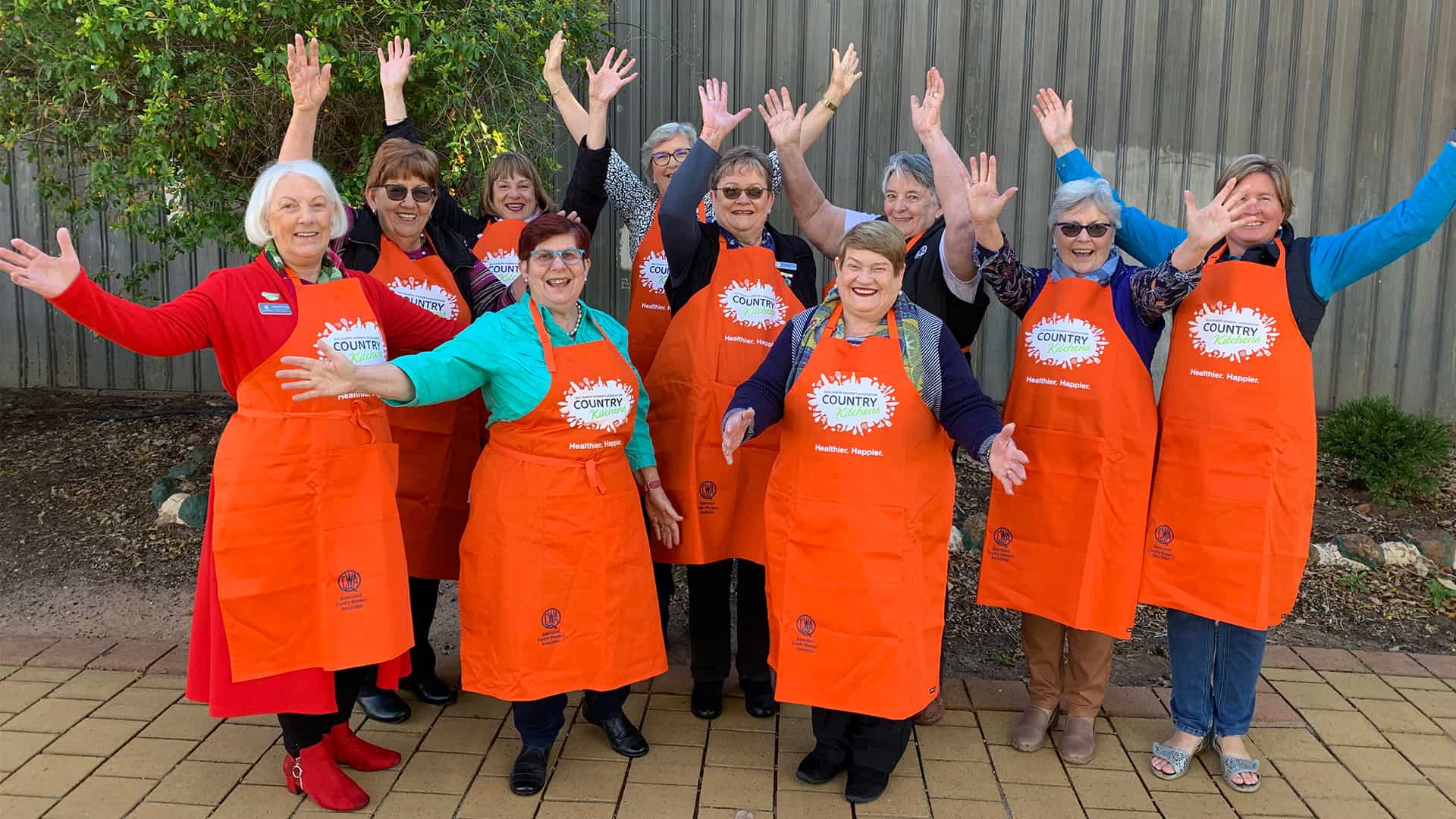
QCWA Country Kitchens
QCWA Country Kitchens is a health promotion program that supports communities across Queensland to adopt healthier lifestyle behaviours.
- Active travel
- Bike riding
- Community Centres
- Exercise
- Food security
- General health and wellbeing
- Healthy eating
- Healthy food and drinks
- Nutrition
- Physical activity
- Queensland
- Regional
- Remote
- Rural
- Schools and Early Childhood Places
- Sedentary Behaviour
- Urban
- Walking
Australian Urban Observatory (AUO)
A digital liveability planning platform that transforms complex urban data into easily understood liveability maps across Australia’s 21 largest cities.
- Built and Natural Environment
- Community Centres
- Food Venues
- Health, Government, and Other Services
- Healthy Workplaces
- Infrastructure, Planning and Urban Design
- Monitoring and Evaluation
- Parks and public spaces
- Places, settings, environments
- Public Transport
- Schools and Early Childhood Places
- Sport and recreation facilities
- Streets, pathways, bike paths
- Walking
Related Resources
How Precincts Can Improve How We Live
Learn how well-designed precincts can create a sense of place and belonging, and help drive economic growth.
- Built and Natural Environment
- Community Centres
- Food Venues
- Health, Government, and Other Services
- Healthy Workplaces
- Parks and public spaces
- Places, settings, environments
- Public Transport
- Schools and Early Childhood Places
- Sport and recreation facilities
- Streets, pathways, bike paths
Case Study: Ageing Well Noosa
The Noosa Shire Council delivers the Ageing Well Noosa program under funding delivered through ActiveKIT.
Case Study: Live Life, Get Active program
Fraser Coast residents are fitter and happier thanks to the Live Life, Get Active program held in the region.
QCWA Country Kitchens
QCWA Country Kitchens is a health promotion program that supports communities across Queensland to adopt healthier lifestyle behaviours.
- Active travel
- Bike riding
- Community Centres
- Exercise
- Food security
- General health and wellbeing
- Healthy eating
- Healthy food and drinks
- Nutrition
- Physical activity
- Queensland
- Regional
- Remote
- Rural
- Schools and Early Childhood Places
- Sedentary Behaviour
- Urban
- Walking
Australian Urban Observatory (AUO)
A digital liveability planning platform that transforms complex urban data into easily understood liveability maps across Australia’s 21 largest cities.
- Built and Natural Environment
- Community Centres
- Food Venues
- Health, Government, and Other Services
- Healthy Workplaces
- Infrastructure, Planning and Urban Design
- Monitoring and Evaluation
- Parks and public spaces
- Places, settings, environments
- Public Transport
- Schools and Early Childhood Places
- Sport and recreation facilities
- Streets, pathways, bike paths
- Walking


